Navigation updates
Mercedes navigation update: always up to date with Mercedes Me
With us and Mercedes-Benz, you rely on innovative technologies to ensure that your journey always runs smoothly and with the help of up-to-date information. The Mercedes Navigation Update is an integral part of this commitment. By integrating Mercedes Me and thus the Mercedes digital ecosystem, the latest versions and functions are made easily accessible to you. Don't miss out on them!
Filter products
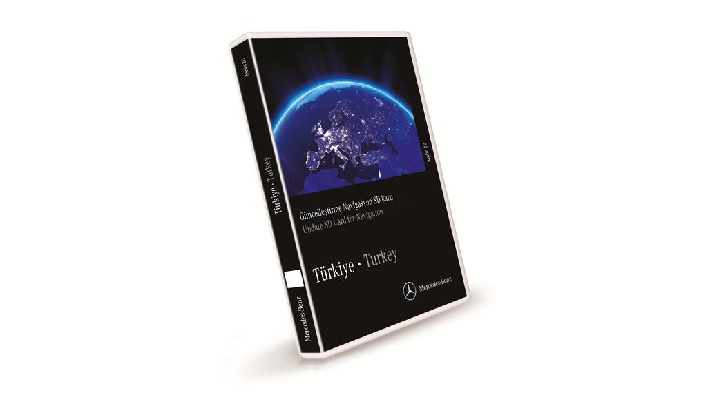
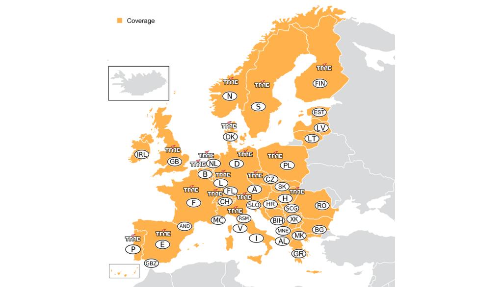
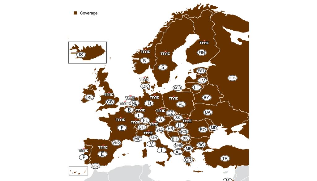
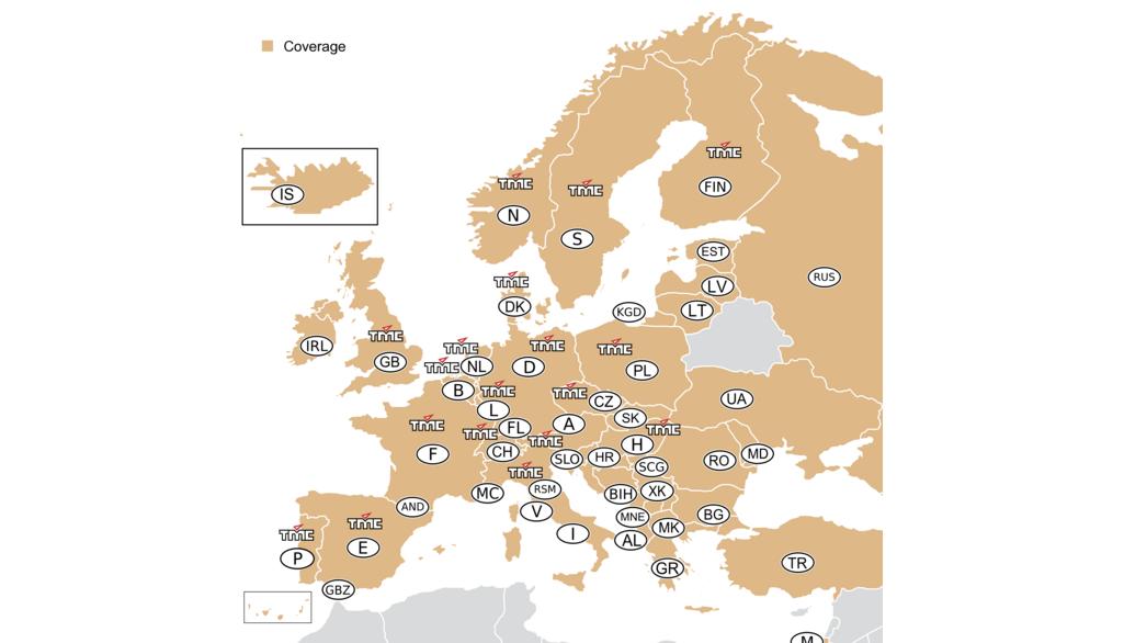
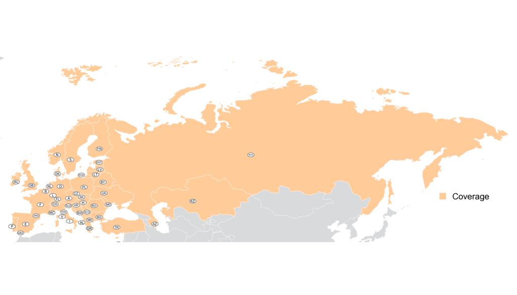
With the Navigation SD card, you benefit from user-friendly navigation, precise map data and excellent route guidance. It transforms your Audio 20 into a fully-fledged and powerful navigation system. This is done by simply inserting an SD card with navigation software and map data. The map is displayed in high resolution and color on the large display of the multimedia system and is supplemented by additional navigation information in the instrument cluster. 3D views with precise road and building representations as well as photorealistic junction and lane assistants facilitate orientation. Navigation can be operated intuitively via the Controller or by voice control.Important note:13.0 Q4/2024Live Traffic Information (valid from December 2021):The "Live Traffic Information" service is not included when purchasing an update card.This service can be purchased via the Mercedes me Store app or in the Mercedes me Store online at http://www. mercedes.me.This service can be purchased via the Mercedes me Store app or in the Mercedes me Store online at http://www.mercedes.me.Included map data:Albania, Andorra, Azerbaijan, Belarus, Belgium, Bosnia and Herzegovina, Bulgaria, Croatia, Denmark, Estonia, Faroe Islands, Finland, France, Germany, Gibraltar, Great Britain, Greece, , Iceland, Ireland, Israel, Italy, Kazakhstan, Kosovo, Latvia, Liechtenstein, Lithuania, Luxembourg, Macedonia F.Y.R.O., Malta, Moldova, Monaco, Montenegro, Netherlands, Norway, Austria, Poland, Portugal, Romania, Russia, San Marino, Serbia, Slovakia, Slovenia, Spain, Sweden, Switzerland, Czech Republic, Turkey, Ukraine, Hungary, Vatican City State, CyprusMounting instructions:N
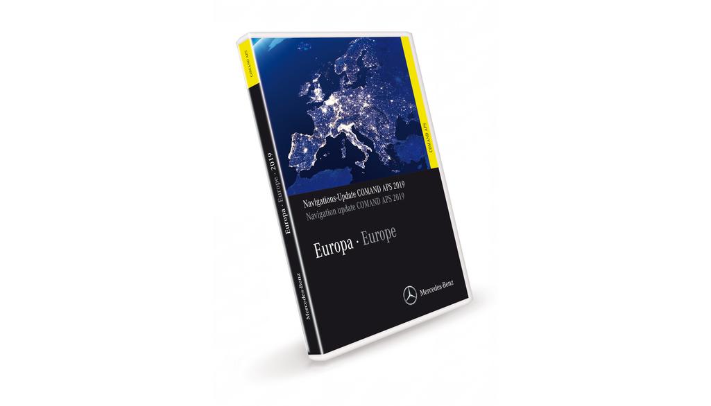
With the COMAND software update 09/29, available from Telematics CD 01/2010, you receive two DVDs with navigation data for 39 European countries. These contain streets and roads, cities, villages and many points of interest, such as Albania, Andorra, Belgium, Bosnia-Herzegovina, Bulgaria, Croatia, Denmark, Estonia, Finland, France, Germany, Gibraltar, Greece, Great Britain, Ireland, Italy, Latvia, Liechtenstein, Lithuania, Luxembourg, Macedonia (F.Y.R.O.M), Monaco, Montenegro, Netherlands, Norway, Austria, Poland, Portugal, Romania, San Marino, Sweden, Switzerland, Serbia, Slovak Republic, Slovenia, Spain, Czech Republic, Hungary and Vatican City. The 2019 version covers all of Western Europe. The navigation system knows a total of 10.7 million kilometers of roads across Europe. Eastern Europe is fully covered by the Baltic States, Greece, Croatia, Poland, the Slovak Republic, Slovenia, the Czech Republic and Hungary. Prime coverage* has been significantly expanded in Slovenia, the Czech Republic and Hungary. In addition, the quality of the maps in the Czech Republic has been significantly improved. The navigation knows 90,812 cities and municipalities. In addition, more than 4.4 million points of interest (POI) - special destinations such as petrol stations, parking lots, museums, restaurants and hospitals - are included. Furthermore w
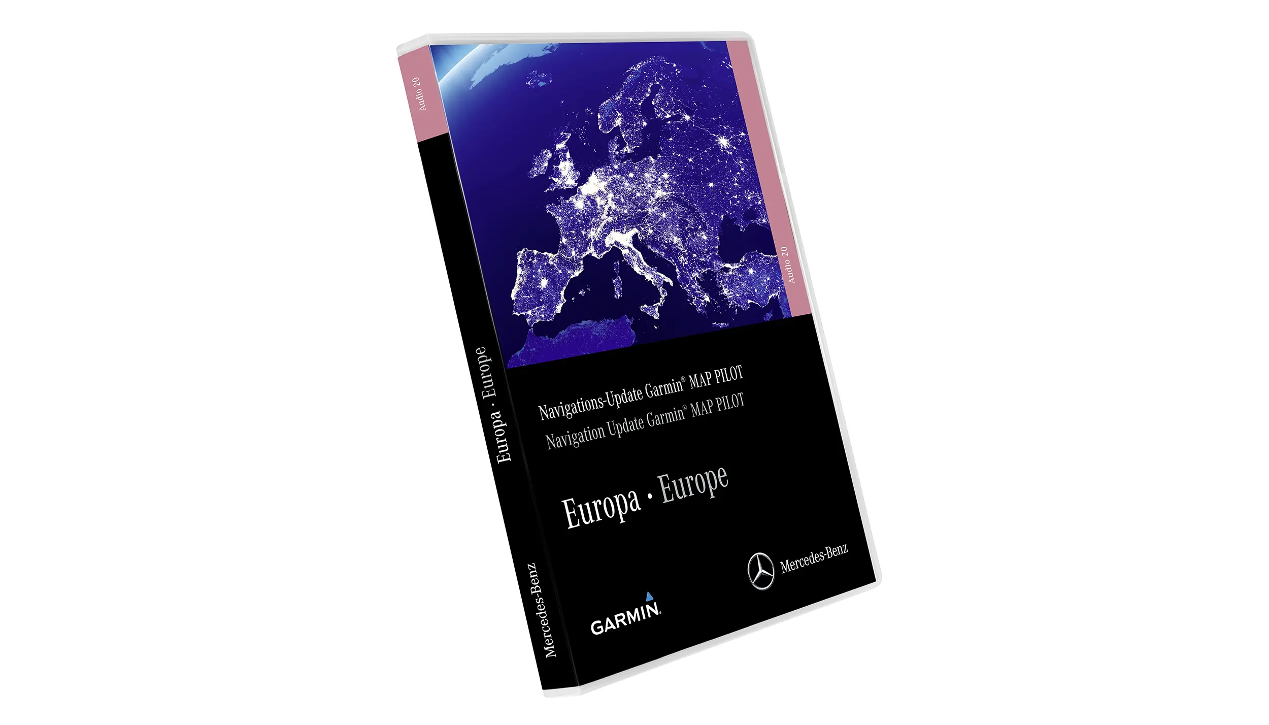
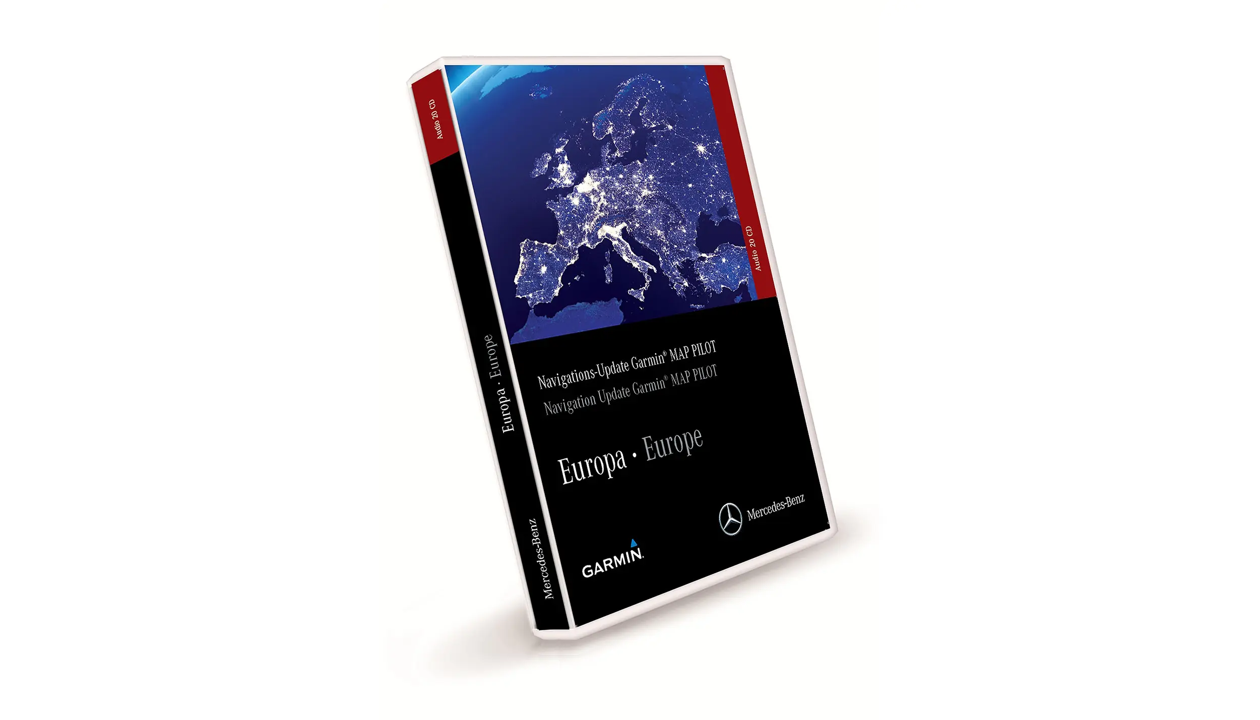
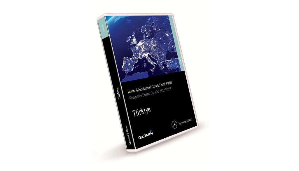
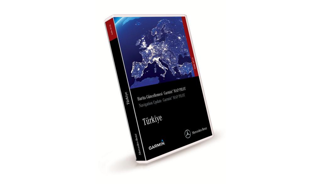
The Garmin® MAP PILOT enables simple operation, precise map information and excellent route guidance. You can transfer all the benefits of a Garmin® navigation system to the Audio 20 CD by simply inserting an SD card with navigation software and map data. The Garmin®-style map display is shown in high resolution and color on the large display of the multimedia system, supplemented by additional navigation instructions in the instrument cluster. 3D views with precise representation of roads and buildings as well as photorealistic junction and lane assistants make orientation easier. Intuitive operation is via the controller, and navigation can also be controlled by voice control.Please note:Garmin® MAP PILOT ECE NTG5 Star1 V20 E59.5 Q3/2022Live Traffic Information (valid from December 2021):The "Live Traffic Information" service is not included with the purchase of an update card. You can purchase this service via the Mercedes me Store app or online in the Mercedes me Store at http://www.mercedes.meIncluded map data:Albania, Andorra, Belgium, Bosnia and Herzegovina, Bulgaria, Croatia, Denmark, Estonia, Finland, France, Germany, Gibraltar, Great Britain (England, Wales, Scotland, Northern Ireland, Channel Islands, Isle of man), Greece, Iceland, Ireland, Israel, Italy, Kazakhstan, Kosovo, Latvia, Liechtenstein, Lithuania, Luxembourg, Macedonia F.Y.R.O., Malta, Moldova, Monaco, Montenegro,
Product description:The Garmin® MAP PILOT offers user-friendly navigation, precise map information and excellent route guidance by transferring all the benefits of a Garmin® navigation system to the Audio 20 CD. This is done simply by inserting an SD card with navigation software and map data. The map is displayed in Garmin® look and feel in high resolution and color on the large display of the multimedia system, supplemented by additional navigation information in the instrument cluster. 3D views with precise road and building representations as well as photo-realistic intersection and lane assistants facilitate orientation. Intuitive operation is via the controller and navigation can also be controlled by voice control.Important product details Note:Garmin® MAP PILOT ECE NTG5 Star1 V17E59.5 Q3/2020Live Traffic Information (valid from December 2021):The "Live Traffic Information" service is not included when purchasing an update map. This service can be purchased via the Mercedes me Store app or online in the Mercedes me Store at http://www.mercedes.me Included map data: Albania, Andorra, Belgium, Bosnia and Herzegovina, Bulgaria, Croatia, Denmark, Estonia, Finland, France, Germany, Gibraltar, Great Britain (England, Wales, Scotland, Northern Ireland, Channel Islands, Isle of man), Greece, Iceland, Ireland, Israel, Italy, Kazakhstan, Kosovo, Latvia, Liechtenstein, Lithuania, Luxembourg, Macedonia F.Y.R.O., Malta, Moldova,
The Garmin® MAP PILOT offers user-friendly navigation, precise map information and excellent route guidance. It integrates all the advantages of a Garmin® navigation system into the Audio 20 CD with touchpad, simply by inserting an SD card with navigation software and map information. The Garmin® style map display is shown in high resolution and color on the large display of the multimedia system, supplemented by additional navigation instructions in the instrument cluster. 3D views with precise road and building representations as well as photorealistic junction and lane assistants make orientation easier. Operation is intuitive, either via the controller or the touchpad. The touchpad's character recognition enables text input and the navigation can also be operated by voice control.Note on installation: Please note that the Garmin® MAP PILOT (SD card) is connected to the head unit after insertion and is therefore not transferable to other vehicles. In the event of damage, the Garmin® MAP PILOT (SD card) must also be replaced. To ensure this, please enter the code 357 in the vehicle data card when retrofitting the Garmin® MAP PILOT. BR205/253: Valid until production 07/2017 (in China until 08/2017). Not compatible with the new head unit code 154.
For the navigation device Audio APS (NTG 1) we offer you up-to-date navigation data for 29 European countries. The DVDs contain streets and roads, towns, villages and many points of interest, such as petrol stations, parking lots, museums, restaurants and hospitals. Western Europe is covered with the 2018/2019 version and the navigation knows over 9.6 million kilometers of roads. Eastern Europe is also fully covered. Among others, Greece, Croatia, Poland, the Slovak Republic, Slovenia and the Czech Republic are included. In Poland and the Czech Republic, Prime coverage* has been significantly expanded. The quality of the maps of the Czech Republic has been significantly improved thanks to intensive editing (110,540 km of prime coverage*, compared to 101,622 km in the previous version). In addition, 89,268 cities and towns can be navigated to and almost 2.8 million points of interest (POI) are available. The precision of navigation to the house number you are looking for has also been improved, especially in Italy and Poland. In addition, current traffic data (TMC/RDS) is taken into account and there are automatic detour. Map updates include millions of changes, such as new roads, intersections, bypasses, junctions and highway entrances and exits. Over 1,188,439 kilometers of roads have been updated including approx.
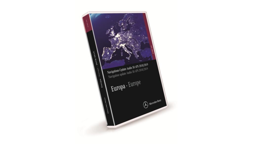
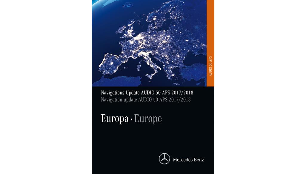
The Audio 50 APS (NTG 2) navigation device is equipped with 7 CDs packed with the latest navigation data for 29 European countries. The 2017/2018 version covers over 7.87 million kilometers of roads and over 750,000 cities and towns. A particular focus is on updating the recorded house numbers. In addition, over 2.6 million points of interest (POI) are included, such as petrol stations, parking lots, museums, restaurants and hospitals. In addition, 129,016 company branches and 4,848 wineries are included in the new 2017/2018 version. Thanks to dynamic route guidance based on current traffic data (TMC/RDS), traffic warnings for freeways can be taken into account and detours automatically calculated. This service is available in 12 countries. In addition, the navigation also includes the fastest route to 3,009 Mercedes-Benz service partners. Map updates include millions of changes, such as new roads, intersections, bypasses, junctions and highway entrances and exits. With the Audio 50 APS (NTG 2) navigation device, you get reliable and precise navigation to your destination.
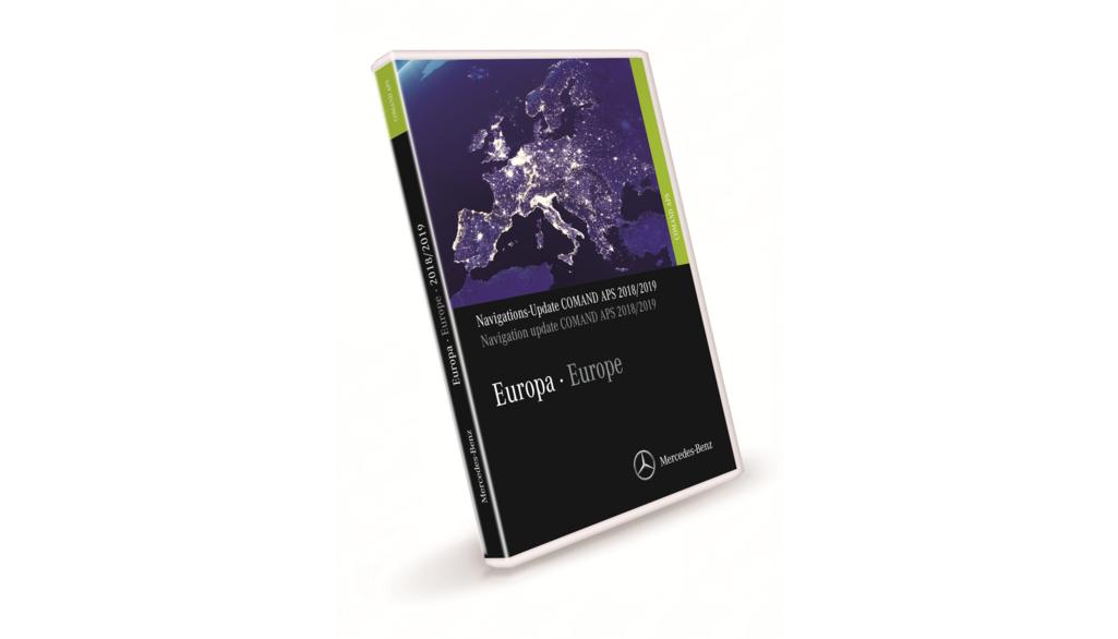
Experience a new level of precision and speed with the new navigation update for the COMAND APS (NTG 3). With more countries and routes than ever before, this update is the best choice to bring your customers' navigation up to date. The DVD contains navigation data for 38 European countries, with roads and routes, cities, villages and many points of interest. With over 10.5 million kilometers of roads and 90,789 cities and towns, Western Europe is fully covered. Eastern Europe is also covered with the 2018/2019 version, including the Baltic States, Greece, Croatia, Poland, the Slovak Republic, Slovenia, the Czech Republic and Hungary. Prime coverage has been increased by 2-3 percent in Poland and the Czech Republic, while the quality of maps of the Czech Republic has been increased by 110,540 km of prime coverage*. Navigation can now also lead to the house number you are looking for, with most of the house numbers in the Central and Northern European countries now fully covered. Coverage in Greece and Romania has also been improved. Almost 4.5 million particularly important destinations are included on the DVD, for example petrol stations, parking lots, museums, restaurants and hospitals. A dynamic service is now available in 38 countries, which provides up-to-date information based on the Traffic Message Channel.
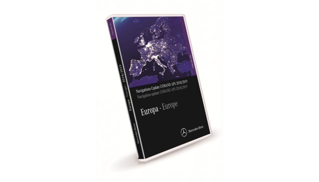
The new navigation update for the COMAND APS (NTG 4) brings your customers' navigation up to date. With more countries and routes than ever before. With a total of two DVDs full to the brim with navigation data for 40 countries in Western and Eastern Europe, with roads and routes, cities, villages and many special destinations. With over 10.6 million kilometers of roads and 90,850 cities and towns that can be navigated to. With 4.6 million points of interest, such as petrol stations, parking lots, museums, restaurants and hospitals. With 14,093 ATMs and 14,669 nightlife points of interest. With dynamic route guidance based on current traffic data (TMC/RDS) and over 82,798 traffic circles, 417,698 turn restrictions, 188,757 one-way streets and 1,794,870 street names. With over 1,325,925 road kilometers including approx. 21,920 freeway and expressway sections. Attention: This update is not suitable for vehicles C class in the construction period (>03/07,
The Garmin® MAP PILOT offers you an easy way to transfer all the benefits of a Garmin® navigation system to the Audio 20 CD with touchpad. Simply insert an SD card with navigation software and map data sets and you get high-resolution, color map displays with the look and feel of Garmin®. 3D views, accurate road and building displays and photo-realistic junction and lane assistants make it easier to find your way. Intuitive operation is either via the controller or the touchpad, which enables character recognition for text input. Navigation can also be controlled by voice control. You can obtain the Garmin® MAP PILOT download manager for updating the navigation software and map material as well as further information on the terms of use at: https://shop.mercedes-benz.com/garmin-map-pilot
. Experience intuitive navigation with the Garmin® MAP PILOT. Thanks to precise map data and excellent route guidance, you get all the benefits of a Garmin® navigation system directly on your Audio 20 CD. Simply insert the SD card with navigation software and map data sets and off you go. The map is displayed in the look and feel of Garmin® in high resolution and in color on the large display of the multimedia system. 3D views, photorealistic junction and lane assistants and additional navigation instructions in the instrument cluster make it easier to find your way. The controller is available for intuitive operation. Navigation can also be controlled by voice control. Update the navigation software and map material with the Garmin® MAP PILOT download manager. Further information on the terms of use can be found at: https://shop.mercedes-benz.com/garmin-map-pilot
With the SD card Navigation from Mercedes-Benz, you get a powerful navigation system directly in your Audio 20. Just plug in the card and you can look forward to a high-resolution, color map display with the look and feel of COMAND Online. The SD card navigation also offers a wide range of functions, including 3D views with precise road and building displays, photorealistic junction and lane assistants and intuitive operation using the controller. Voice control is also possible. Simply update your map material with the Download Manager SD Card Navigation and find out more about the terms of use at http://www.mb4.me/sd-card-navigation.
The COMAND ONLINE (NTG4.5) update version 2018 / V17.0 provides you with the latest navigation data for 40 countries in Western Europe. A total of 10.6 million road kilometers are included in the 2018 version and 90,850 cities and municipalities can be navigated to. In addition, 4.2 million points of interest (POI) such as petrol stations, parking lots, museums, restaurants and hospitals are included, 267,000 more than in the old version. The new version also includes 5,806 hotels and 12,682 nightlife points of interest. Dynamic route guidance based on current traffic data (TMC/RDS) takes current traffic warnings into account and automatically calculates detours. Over 82,798 traffic circles, 417,698 turn restrictions, 188,757 one-way streets and 1,794,870 street names have been updated. In addition, 1,325,925 road kilometers, including 21,920 freeway and expressway sections, were updated. To be able to use the map data, you need a six-digit activation code, which is available for specific vehicles via the VeDoc system. The activation code is subject to a charge, but can be requested free of charge in VeDoc in the event of a replacement. The map data is installed via a USB stick and is described in detail in the COMAND Online operating instructions.
With the navigation device COMAND Online (NTG5 Star2), you can navigate with navigation data for 49 countries, with roads and paths, cities, villages and many points of interest thanks to the current version 2018 / V12.0. In total, the new navigation system knows 18.1 million kilometers of roads and 94,733 cities and municipalities. The 2018 version now includes 7.6 million points of interest (POI), including petrol stations, parking lots, museums, restaurants and hospitals. In addition, 3,126 Mercedes-Benz service partners are displayed. Thanks to the Traffic Message Channel (TMC/RDS), current traffic warnings for freeways are taken into account and detours are calculated automatically. This service is available in 49 countries. A map update includes millions of changes such as new roads, intersections, bypasses, junctions and highway entrances and exits. Over 34,530 traffic circles, 391,283 turning restrictions, 152,262 one-way streets and 1,326,341 street names have been updated. A total of 791,480 kilometers of road were updated. To update the maps, you need a USB stick and a six-digit activation code. This represents a license to use the map data in a vehicle and is only valid for a combination of vehicle, COMAND Online and map version.
Don't miss the latest version of the navigation update for COMAND ONLINE (NTG5 Star1). This update provides you with up-to-date navigation data for 47 countries, including roads and streets, cities, villages and many points of interest. In total, over 18.5 million kilometers of roads and 94,621 cities and municipalities are covered. In addition, almost 7.8 million particularly important destinations such as petrol stations, parking lots, museums, restaurants and hospitals are included. With this update, you can also get the fastest route to 3,105 Mercedes-Benz service partners. Thanks to data from the Traffic Message Channel, the navigation also takes into account current traffic warnings for highways and automatically calculates detours. Map updates include millions of changes such as new roads, intersections, bypasses, junctions and highway entrances and exits. An activation code is required to install the update and can be requested via the VeDoc system. Get the navigation update for COMAND ONLINE (NTG5 Star1) now and benefit from the latest navigation data.
With the latest map update for 52 countries, including roads, paths, cities, villages and many points of interest, you get a full navigation experience for your COMAND ONLINE (NTG5.5). With a total of 19.2 million kilometers of roads and 95,725 cities and towns, the update is a must for every driver. In addition, the update contains almost 9.9 million points of interest (POI) such as petrol stations, parking lots, museums, restaurants and hospitals - a total of 396,000 more than the previous version. 39,015 restaurants and 23,616 hotels have also been included in the new 2018/2019 version. Another advantage of the update is the dynamic route guidance based on current traffic data (TMC/RDS). Based on data from the Traffic Message Channel, the navigation takes into account current traffic warnings for freeways and automatically calculates detours. This service is now available in 52 countries. Changes have also been made to the road network. These include over 52,767 traffic circles, 265,636 turn restrictions, 292,547 one-way streets and 3,904,656 street names. 1,271,764 kilometers of road, including approx. 26,346 freeway and expressway sections, were also updated. To install the update, you need a six-digit activation code. This
Original Mercedes Benz updates
With various versions and regular updates, Mercedes ensures that your navigation system is always up to date. One of the tried and tested methods of updating the navigation system is to use updated navigation DVDs or SD cards. These contain the latest maps, information on countries, cities and various important locations. The license for the Navigation Mercedes Update guarantees that you use the updates legally and in accordance with Mercedes-Benz guidelines. This is crucial to ensure that your navigation system works optimally and that you always receive accurate and reliable routes.
Order the exclusive Final Edition
The Mercedes Navigation Update is available in different versions, including the exclusive Final Edition. This often includes additional features, user interface improvements and other amenities to make your driving experience even more enjoyable. You will enjoy the difference. Please also note how varied the upgrade options are. Of course, Mercedes gives you the flexibility to choose the method of updating. The use of SD cards for the navigation Mercedes update is particularly popular as they are easy to insert and make updating the system easier. You insert the SD card directly into the appropriate slot, making the process straightforward and user-friendly.
Detailed maps of cities and countries
The updates not only cover basic roads and highways, but also detailed maps of cities and countries. This is particularly important to ensure precise route guidance and accurate location information. The maps are regularly reviewed and updated to reflect changes in infrastructure, new roads and changes in traffic regulations. This allows you to get through traffic safely, quickly and efficiently. In addition, the Mercedes Me integration into the update process allows you to manage updates conveniently. With the help of this central platform, you can easily combine vehicle data, services and applications. This means you can not only update your navigation system here, but also access other personalized functions that perfect your driving experience.
Systems for the highest degree of individualization
Mercedes-Benz knows what its customers want: a high, tailor-made degree of individualization. You enjoy this just as much with the vehicle equipment as with the original Mercedes-Benz updates. You are guaranteed the high-quality performance and precision that you have come to expect from your vehicle. The company relies on first-class technology to ensure that the navigation systems are responsive, reliable and user-friendly. The variety of update systems available allows them to cater to your exact needs. Whether you are looking for basic map updates or comprehensive system upgrades: Mercedes offers options to suit your needs. Test the groundbreaking possibilities for yourself. Do you have any questions? Then read the product descriptions or ask us directly!


